Josef “Jeff” Sipek

KORH Minimum Sector Altitude Gotcha

I had this draft around for over 5 years—since January 2019. Since I still think it is about an interesting observation, I’m publishing it now.

In late December (2018), I was preparing for my next instrument rating lesson which was going to involve a couple of ILS approaches at Worcester, MA (KORH). While looking over the ILS approach to runway 29, I noticed something about the minimum sector altitude that surprised me.

Normally, I consider MSAs to be centered near the airport for the approach. For conventional (i.e., non-RNAV) approaches, this tends to be the main navaid used during the approach. At Worcester, the 25 nautical mile MSA is centered on the Gardner VOR which is 19 nm away.

I plotted the MSA boundary on the approach chart to visualize it better:

It is easy to glance at the chart, see 3300 most of the way around, but not realize that when flying in the vicinity of the airport we are near the edge of the MSA. GRIPE, the missed approach hold fix, is half a mile outside of the MSA. (Following the missed approach procedure will result in plenty of safety, of course, so this isn’t really that relevant.)

IFR Alternate Minimums

As some of you already know, I’ve been working on my instrument rating over the past 5–6 months. As part of it, I had to figure out and understand the regulations governing when an alternate airport is needed and the required weather at the destination and alternate airports.

The first part is answered by 91.169(a) and 91.169(b). To give you taste of the regulations, here is (b):

(b) Paragraph (a)(2) of this section does not apply if:

(1) Part 97 of this chapter prescribes a standard instrument approach procedure to, or a special instrument approach procedure has been issued by the Administrator to the operator for, the first airport of intended landing; and

(2) Appropriate weather reports or weather forecasts, or a combination of them, indicate the following:

(i) For aircraft other than helicopters. For at least 1 hour before and for 1 hour after the estimated time of arrival, the ceiling will be at least 2,000 feet above the airport elevation and the visibility will be at least 3 statute miles.

(ii) For helicopters. At the estimated time of arrival and for 1 hour after the estimated time of arrival, the ceiling will be at least 1,000 feet above the airport elevation, or at least 400 feet above the lowest applicable approach minima, whichever is higher, and the visibility will be at least 2 statute miles.

Clear as mud, isn’t it?

The second question (the required weather at the destination and alternate airports) is answered by 91.169(c). Don’t worry, I won’t quote it here.

Since the text of the regulation is not easy to read, I decided that the best way to understand it is to make a flowchart. As I fly airplanes, I’ve ignored any part of the regulations that is about aircraft other than airplanes.

The result:

Clearer? I certainly think so!

The one big thing to keep in mind about this flowchart is that not every approach can be used during planning. This is a semi-large topic of its own.

In short, any approach that you aren’t authorized for, the plane isn’t equipped for, or that has a NOTAM saying that it isn’t available, effectively doesn’t exist. As far as GPS approaches are concerned, if you have a TSO 129 or 196 GPS, then you have another restriction—you cannot plan on using GPS approaches at both your destination and your alternate.

I found it useful to write this down and in the process truly understand the rules. Hopefully, you’ve found this useful as well. Needless to say, you should not rely on this flowchart without verifying that it is correct. Regulations sometimes change, and people sometimes make mistakes when making flowcharts to visualize said regulations. (If you find a problem, let me know!)

One final thought: just because the regulations don’t require an alternate airport doesn’t mean that you shouldn’t have one anyway. Weather often seems to have a mind of its own and a propensity to prove forecasters wrong.

Instrument Flying

I was paging through a smart collection in Lightroom, when I came across a batch of photos from early December that I did not share yet. (A smart collection is filter that will only show you photos satisfying a predicate.)

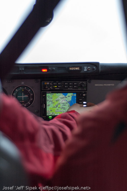
On December 2nd, one of the people I work with (the same person that told me exactly how easy it is to sign up for lessons) told me that he was going up to do a couple of practice instrument approaches to Jackson (KJXN) in the club’s Cessna 182. He then asked if I wanted to go along. I said yes. It was a warm, overcast day…you know, the kind when the weather seems to sap all the motivation out of you. I was going to sit in the back (the other front seat was occupied by another person I work with — also a pilot) and play with my camera. Below are the some of the better shots; there are more in the gallery.

Getting ready to take off:

US-127 and W Berry Rd:

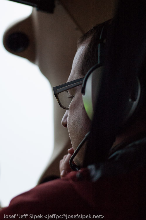
The pilot:

The co-pilot:

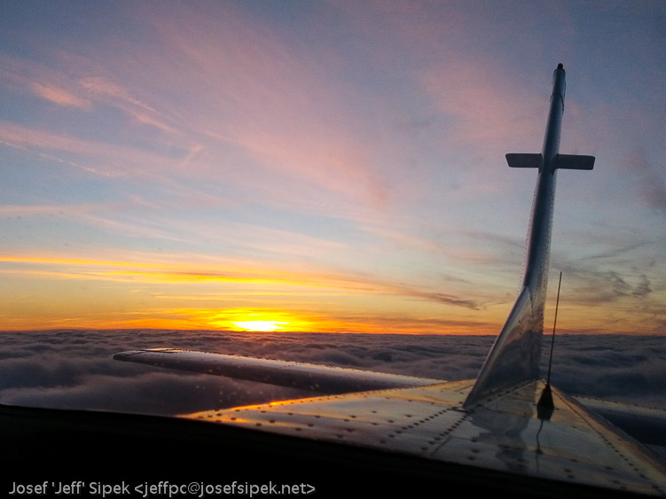
On the way back to Ann Arbor (KARB), we climbed to five thousand feet, which took us out of the clouds. Since I was sitting in the back, I was able to swivel around and enjoy the sunset on a completely overcast day. The experience totally made my day. After I get my private pilot certificate, I am definitely going to consider getting instrument rated.

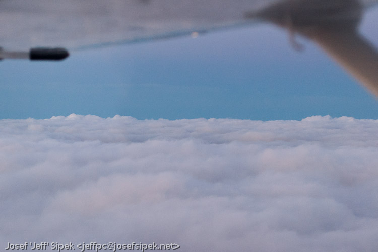
The clouds were very fluffy.

FAST 2013

Since FAST starts today, yesterday was dedicated to flying out to San Jose.

Once at KDTW, I spent most of my wait there watching planes at the gates as well as watching more planes take off on 22L. Somehow, it was fascinating to watch them land on 22L and see 22R in the background — the same 22R that I got to do touch and go’s on a couple of weeks ago. I think not having to aviate first let me enjoy the sights — planes large and small barrelling down the runway and then *poof* they gently lift off the runway. At about 500 feet the gear retracts. It’s magic!

At one point, I saw the plane at the adjacent gate being prepared for its next flight. I both enjoyed seeing and sympathized with one of the crew (I assume the first officer since I suspect the captain wanted to stay warm) walking around the plane visually inspecting it. I know how annoying it is to be outside when it is cold to make sure the plane is safe to fly, yet I find it comforting that the same rules apply not only to Cessna 172s but also to Airbus A320s.

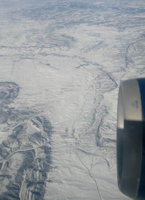
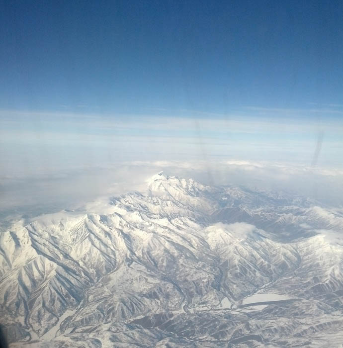
The first leg of the trip took me to KSLC. I brought my copy of the FAR/AIM with me. I read a bunch. I looked out the window a bunch. After we got past Lake Michigan, the sky cleared up allowing me to watch the ground below instead of the layer of overcast. I was very surprised to discover that the snow covered landscape makes it very easy to spot airports. Well, it is easy to spot paved runways that have been plowed.

The approach to KSLC was pretty cool. I never thought about the landscape in Utah before, but it turns out that Salt Lake City is surrounded by some serious mountains. Now, throw in winter weather with overcast and you’ll end up with a sea of white except for a few places where the mountains are peaking through.

Learning to fly in southeastern Michigan doesn’t make you think about mountains — there just aren’t any. Seeing the mountains peeking through the clouds was a scary reminder that there are more things in the sky than just other airplanes and some towers. If one were flying VFR above the clouds (which is a bad idea), where would be a safe place to descend? Obviously not where the mountains peak through, but any other place might be just as bad. The best looking place could have a mountain or a ridge few hundred feet below the cloud tops. Granted, sectional charts would depict all the mountains but it is a dangerous game to play.

I knew we would end up descending through the overcast and so I played a little game I expected to lose. Once we were in the clouds, I tried to keep track of our attitude by just sensing the forces. I knew I would fail, but I thought it would be interesting to try my best. We spent maybe 90 to 120 seconds in the clouds. At the end, I definitely felt like we were in a right bank — Wikipedia article: Spatial disorentation. I knew that we probably weren’t, but without visual information to fix up my perception there was no way for me to know.

We landed. I watched all the airport signs and markings, following our progress on an airport diagram. Once people started getting off the plane, I decided to ask to see the airworthiness certificate. The first officer (I think) found all the paperwork in the cockpit and showed me. It was really cool to see the same form I see every time I fly the 172 but filled out for an A320. (Theirs was laminated!) We chatted for a little bit about what I fly, and how it’s a good plane. It was fun.

It was time to get to my connecting flight. Nothing interesting happened. I spent about half the flight watching the outside and half reading my book.

After arriving to KSJC, I got up from my seat in the small but comfy plane (CRJ200). I grabbed my backpack from the overhead bin with one hand since the other hand not only had my hoodie draped over but was holding the FAR/AIM. I started filing out. All that was left to do was give the thank-you-for-landing-safely-and-not-killing-me nod to the crew as I exited the plane. The captain or FO happened to be standing in the cockpit door saying good bye to passengers. I nodded as planned. He responded: “good book.” I smiled.

Powered by blahgd