Last week I planned on doing a nice cross country flight from  Fitchburg. Inspired by Garrett Fisher’s photos, I took my camera and the 70-200mm lens with me hoping to get a couple of nice photos of the landscapes in New Hampshire.
Sadly, after taking off from KFIT I found out that not only was there the stiff wind that was forecasted (that’s fine) but the air was sufficiently bumpy that it wouldn’t have been a fun flight. On top of that, the ADS-B unit was having problems acquiring a GPS signal. (Supposedly, the firmware sometimes gets into a funny state like this. The good news is that there is a firmware update available that should address this.) I contacted KASH tower to check if they could see my transponder—they did, so I didn’t have to worry about being totally invisible.
Since I was already off the ground, I decided to do some nearby sightseeing, landing practice, and playing with the Garmin GNS 430 GPS.
First, I headed northwest toward Mount Monadnock. While I have seen it in the distance several times before, I never got to see it up close, so this seemed like a worthwhile destination.
As I approached it, I ended up taking out my camera and getting a couple of photos of the hills and mountains in New Hampshire. It was interesting how the the view to the north (deeper into New Hampshire) is hilly, but the view more east (and certainly south) is flatter. (Both taken near Mount Monadnock.)

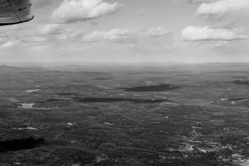
While the visibility was more than good enough for flying, it didn’t work out that well for photography. In all of the photos, the landscape far away ended up being heavily blue-tinted. No amount of playing around with white balance adjustment in Lightroom was able to correct it. (Either the background was too blue, or the foreground was too yellow/brown.) That’s why all of these photos are black and white.
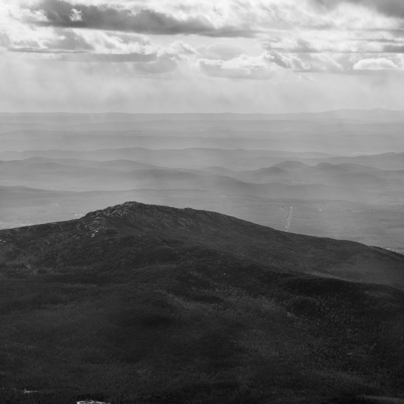
I made a full turn around Monadnock, taking a number of shots but this one is my favorite:
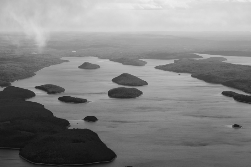
Once done with Monadnock, I headed south to the Quabbin Reservoir in Massachusetts. This is a view toward the south from near its north end:
At this point I started heading to KORH to do some landing practice. Since I was plenty busy, there are no photos.
I’ve never been to this airport before and landing at new airports is always fun. The first interesting thing about it is that it is situated on a hill. While most airports around here are at 200-400 feet MSL, this one is at 1000 feet. The westerly wind favored runway 29 which meant I got to see a second interesting aspect of this airport. The beginning of runway 29 is on the edge of the hill. That by itself doesn’t sound very interesting, but consider that the runway is at 1000 feet while the bottom of the hill (a mere 0.9 km away) is at 500 feet MSL. That is approximately a 17% grade. So, as you approach the runway, at first it looks like you are way too high but the ground comes up significantly faster than normal.
I am still hoping to do my originally planned cross country flight at some point. Rest assured that I will blahg about it.